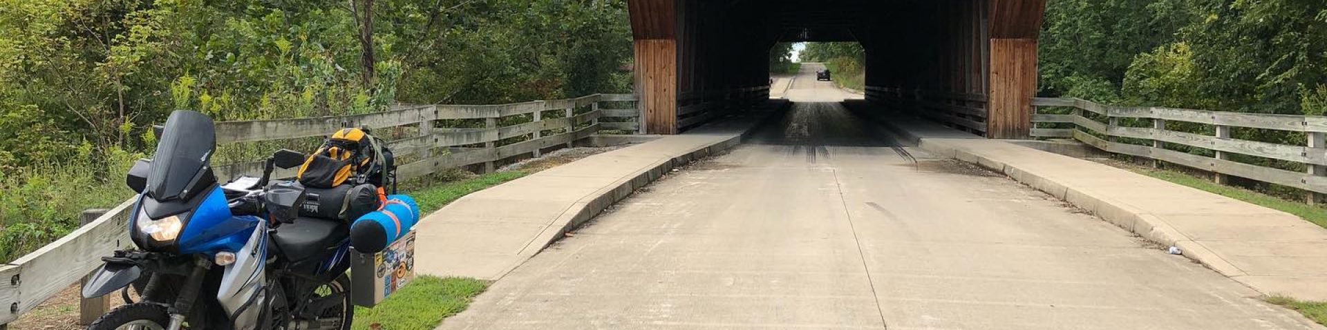

A couple of weeks ago I started thinking about riding a significant section of the South Carolina Adventure Route (SCAR). Previously, I have ridden about 400 miles in the southern sections around the Greater Charleston area primarily in the Francis Marion National Forest and the ACE River Basin. While these sections of the route are a lot of fun to ride, I was starting to become curious about other sections of the SCAR. The curiosity for me was based more on what is the terrain like in the north and what is the consistency of the unpaved portions of the route. Well, to answer these questions I loaded up Spitfire on a Friday morning and headed for the starting point in Edisto Beach.

The first leg of my trip was on the Edisto Island National Scenic Byway. While this route is paved it is a beautiful ride that travels through salt marshes and coastal forests, some of you may want to check out this entry where I explored the island earlier in the summer. As I traveled north, I took an alternate route which took me on a series of dirt roads along the Edisto River in the ACE River Basin. One of the nice things about the SCAR is that it has alternate routes built off the primary route. These alternate routes are usually more difficult sections with sand or deep mud and is set aside for those who are looking for more of a challenge. By leaving early in the morning I was able to make pretty good time and eat up quite a bit of mileage which would help me out quite a bit later in the day.

Just outside of the small town of Cope I started to ride through South Carolina’s agriculture belt. This area is known for its abundance of cotton, tobacco, indigo, and soy bean fields. The SCAR through this area was a mix of short sections of paved back roads with quite a few dirt roads thrown in. The off-road portions were mostly damp hard packed sand due to intermittent rain showers which enabled me to live out some Dakar dreams as I was able to keep a high rate of speed through here.
I wrapped up this leg of the route by pulling into a truck stop where the SCAR crosses over Interstate 20. For the life of me I can’t remember the name of this town or area but I want to say it’s Monetta and the truck stop is on exit 33. While grabbing a quick snack I checked the local weather forecast and it was time to throw on the rain suit since it was about to get really wet. Up to this point I had ridden in really light rain and mist for the last few hours and my First Gear Jaunt jacket and my ARC riding pants had kept me fairly warm and dry with the only issue being cold hands.

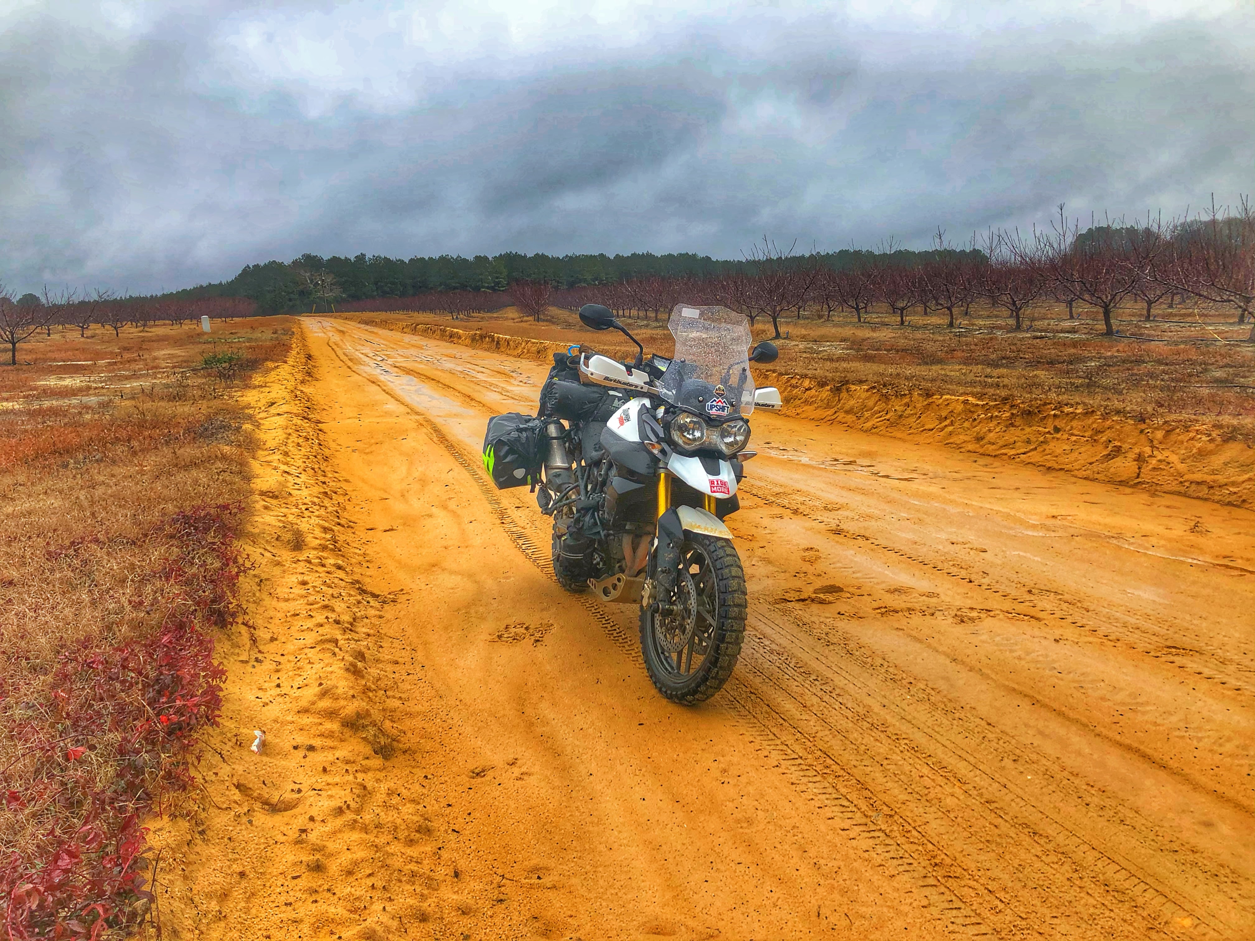
As I started the next leg the weather took a turn for the worse with sporadic downpours. Fortunately, my Ozark Trail rain suit kept me nice and dry but I was limited at how fast I could go due to visibility since my goggles and visor kept fogging up. Just north of I-20 the SCAR was primarily off road on the typical sand roads that I had ridden all day except this time I ran into a new nemesis, red clay. Finding clay on the route was a surprise since it didn’t think South Carolina had too much clay in its soil. Luckily my Shinko 804/805 knobby tires had no issues gaining traction which was nice since some of these clay roads traversed up hills and ridgelines.

After riding a few more hours the weather wasn’t cooperating and the temperature had dropped from the low 50’s to high 30’s. Daylight was starting to fade and since I was about to enter Sumter National Forest, I made the decision to detour towards the town of Edgefield and grab a hotel room for the night. In my original plans I was hoping to camp on the route in Sumter National Forest or at a South Carolina State Park near McCormick. Right as I pulled into Edgefield it started to get dark and it started to snow which was an interesting surprise. Wrapping up the day I had ridden 233 miles of the western portion of the South Carolina Adventure Route in some worst weather I’ve ever ridden in. That night I decided that the weather wasn’t going to be beneficial to continue my push further north so I decided to cut my trip short and head home to Charleston the next day.

Fantastic write-up. The SCAR has been on my radar since you wrote about it last year.
Thanks!
LikeLike