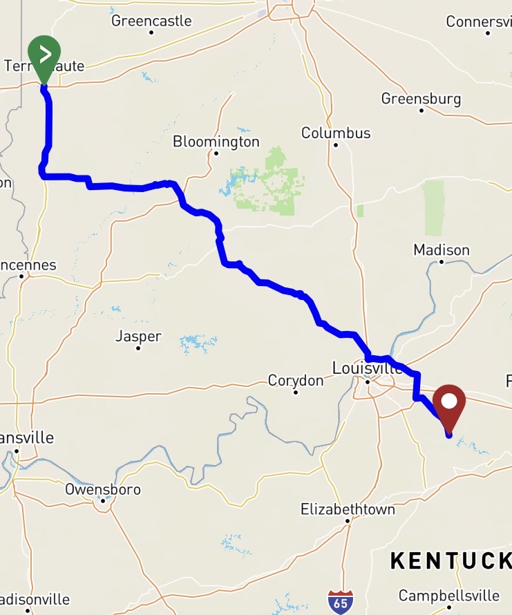
The fourth day of my cross country adventure started in Terra Haute, Indiana where I jumped on Highway 41 before working my way south on a series of state roads until I hit I-65 in southern Indiana. Since time was of the essence I didn’t really take in the scenery of Indiana to much and I really wish I would of. Most of my ride was through wooded areas with some gentle rolling hills which surprised me since I thought most of Indiana was similar to other Mid Western states with miles of corn fields and wide open spaces.
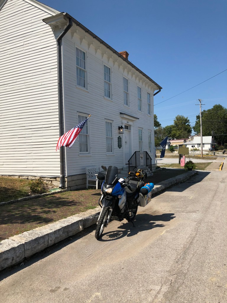
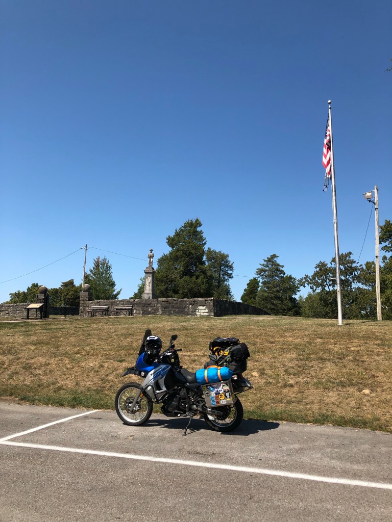
After a short sprint on I-65 I crossed the Ohio River and quickly jumped on some quiet back roads to head into central Kentucky. The riding in this area was great since it has tons of back roads that run along ridgelines and hills with nice sweeping curves and amazing scenery of horse farms along with the foothills of the Appalachian Mountains. I decided to stop just outside of Louisville in the small town of Taylorsville for lunch. During this time I developed a route on my GPS app REVER that kept me on back country roads through the rural areas of central Kentucky. Since it was fairly early in the day and I had ridden 180 miles I decided to push south to the Lake Cumberland area. While riding south to Lake Cumberland I decided to make a detour over to the town of Perryville. This town was the site of the bloodiest battle that had taken place in Kentucky during the American Civil War. Over the course of 5 hours an under strength Confederate Army inflicted heavy losses on a superior sized Union force in a surprise victory.
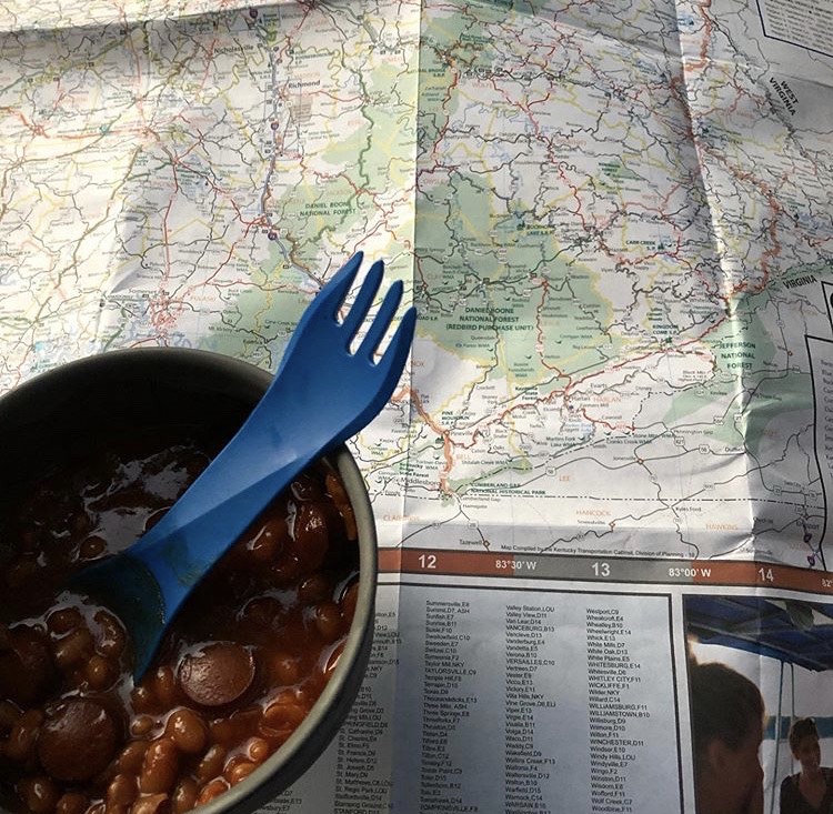
After leaving Perryville I noticed that my GPS had dropped my route that I had developed during lunch and was no longer tracking. This was kind of troublesome because I no longer knew which roads I needed to take. Since I was purposely avoiding highways and interstates, using an app such as Google Maps wasn’t ideal even though they have an option for routes with minimal traffic. Luckily for me, I had a paper map that I had picked up at a rest area outside of Louisville, it was time to forgo modern technology and use old school navigation skills.
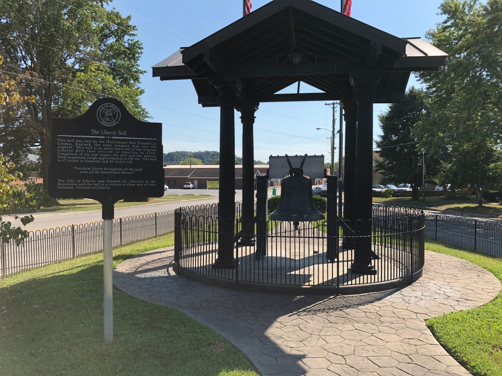
The final 105 miles to Lake Cumberland seemed like it dragged on forever. The temperature was starting hit the mid 90’s and I felt like I was riding in a hair dryer. At this point I decided to ditch my First Gear Jaunt jacket and throw on a dual sport riding jersey and chest protector. This isn’t a bad setup for off road riding on dirt roads or trails however their is very minimal abrasion resistance by going this route when riding on pavement. I was also starting to run low on water in my Camelbak and the KLR was getting thirsty as well. Eventually, I did manage to find the small town of Liberty which wasn’t to far from the Lake Cumberland area. After a quick fuel stop for the KLR and myself we were back on the road.
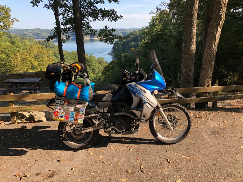
Roughly an hour later I pulled into Lake Cumberland State Park which was pretty much deserted since it was after Labor Day weekend. Normally, this state park is slammed with campers and boats during the summer months. I pretty much had the run of the park and set up camp in no time before settling down for some campfire cooking. That night I went through my Butler maps of Southern Appalachia and my map of Kentucky and developed a route that would take me into Tennessee via the Cumberland Gap. The next day the KLR and I were going to push through mountainous terrain which is something we haven’t done in almost three years.